1 km
3000 ft
Leaflet | Tiles © Esri — Esri, DeLorme, NAVTEQ, TomTom, Intermap, iPC, USGS, FAO, NPS, NRCAN, GeoBase, Kadaster NL, Ordnance Survey, Esri Japan, METI, Esri China (Hong Kong), and the GIS User Community

A work in progress to make a simple map based collaborative database of paragliding sites, clubs and pros worldwide.
The data provided on this site is for informational and planning purposes only.
Absolutely no accuracy or completeness guarantee is implied or intended. All information on this website is for informational purpose only and must not be used and trusted 'as is'. Please understand that it may be outdated, unclear, or simply wrong !
We hope you are aware that you can not trust anything you read on the internet: the website owner can not be held responsible for any decision taken on the basis of the information presented here : please always consider getting fresh and official legal information from the flying sites local people, clubs and/or authorities and consider the weather carefully before you go fly !
This beeing said, fly happy and safe ! ;)

This work and your contributions are licensed under Creative Commons Attribution-Share Alike 3.0 Unported License.
Starting December 10th of 2024, new contributions will also be added in a separate database licenced under ODbL 1.0.
Website built with Leaflet, from a bootleaf basis.
A big thank you to the "Ducks Parapente" pg club in Grenoble - fr, for offering hosting to the project.

A big thank you also to paraglidingforum.com for having kindly offered pgearth a free hosting for over a decade ! Bless you, guys !
And of course a big thank you to all contributors !! :)
We care about your privacy : our code is google tools and facebook buttons free so no-one at gafam will ever track you here !
Don't thank us, it's our pleasure !
This beeing said, we tried our best, but they must know you're here anyway... ;)
We also try to use as few cookies as possible, which is why you have to login at every connection, sorry for the inconveniance.

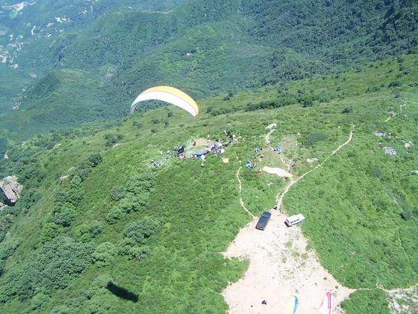
| takeoff | good grass land , open , tadem glider can take off 1200meters high from Landing Zone GPS position 40° 4'40.22'N 116° 2'50.70'E |
|---|---|
| landing | for landing zone is at the foot of the maitian , there is always no wind at LZ one LZ is 40° 4'36.76'N 116° 6'10.05'E the orther is a small airport Keyuan airport 40° 4'12.91'N 116° 6'21.98'E |
| weather | for it is effected by high attitude wind from north west,so you should check the wind direction at 1500 meters before you go there the comferterable wind is E, SE, NE ,the best is E |
| rules | nothing speacal |
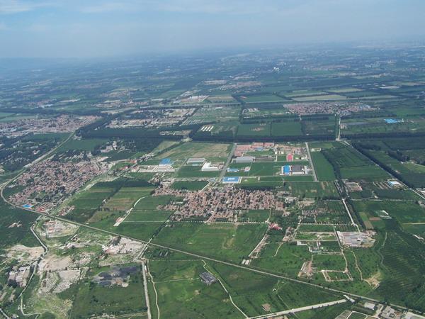
| access | it will take you one and half hour to get to the Take off site from beijing city, it is difficout to explain ,but you may use my gps track , or you may go with local pilots |
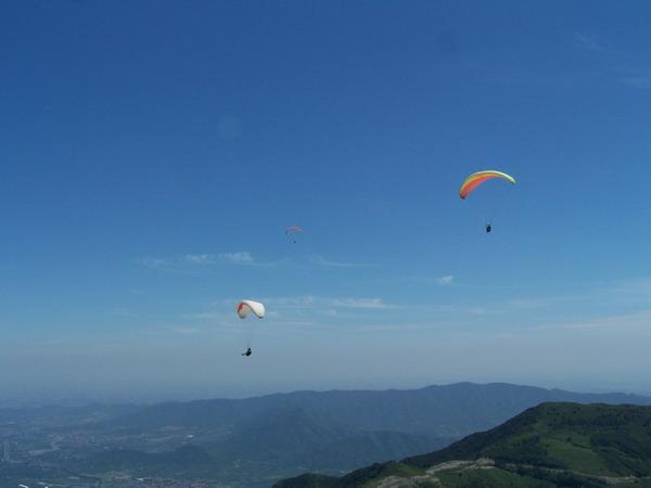
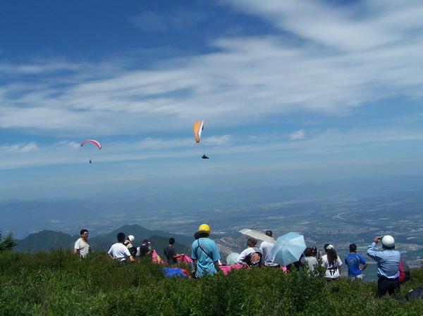
| comments | Jiufeng Best flying time is from Apl to Otc. Jiufeng (or be called as Miaofeng San) is siting at north west side of Beijing city. You can get to the top form club about one and a half hour. The height form Land zone to the Launch site is 1200 meters; The maintain goes about 8 miles from north to south. For normal flight, the east wind is the best to take off. |
| contact | |
| web | |
| tourism |

Courtesy of windy.com